Sign up for the newsletter
Explore Trail running
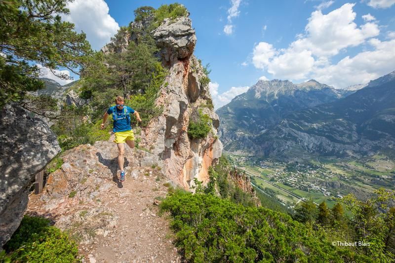
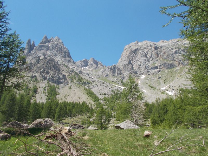
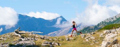
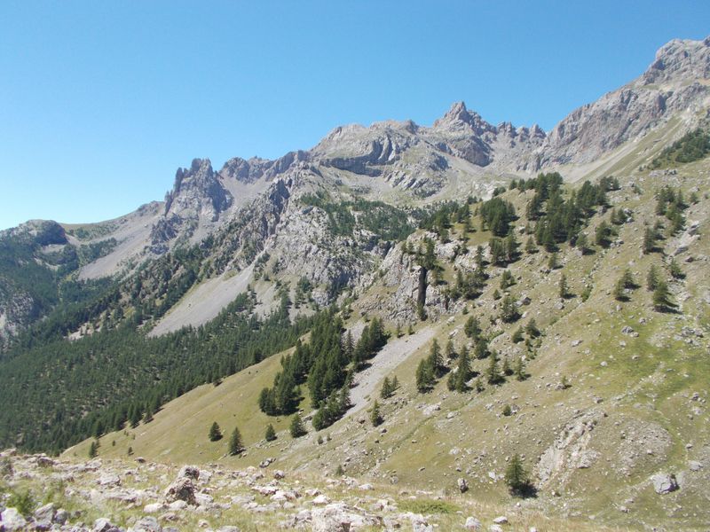
Les Tenailles - Saint Martin
Routes
Description
RED route starting from Saint Martin de Queyrières, Iscle de Prelles campsite
Share your photos on social networks with #stationdetrailecrins
After you are away from the campsite area, you will join the torrent of Sacha and go up to the rock of Roure. From here you will reach the eastern part of the Tenailles de Montbrison massif. By a forest track and then a very beautiful path you will reach the cross of La Salcette. The descent (steep and technical in the first part) is through the hamlet of Bouchier, the Casse de France and finally the village of Prelles.
It is essential to respect the work of the farmers, operators and owners who welcome us on their land.
In order that the herds do not escape, close all the fences tightly.
Bring back all your garbage,
Don't cut routes through the meadows.
Download this route before you leave and let the Trail Running Resorts app guide you on all the routes.
Photos
Shops, Services and Heritage Sites


You will also like