Sign up for the newsletter
Explore Trail running
Le Super noir du Pays des Ecrins - Saint Martin
Routes
Description
Download this document to learn more about the route:
https://stationdetrail.com/uploads/101253/topo-15.pdf
Share your photos on social networks with #stationdetrailecrins
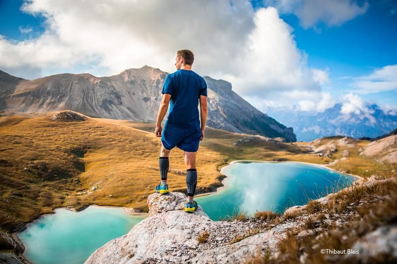
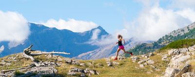
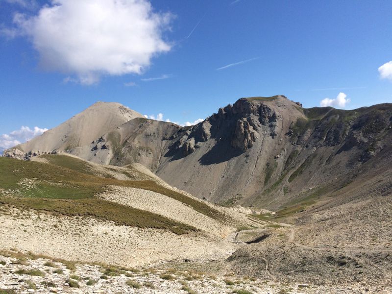
The must of the Pays des Ecrins resort in terms of distance and elevation gain.
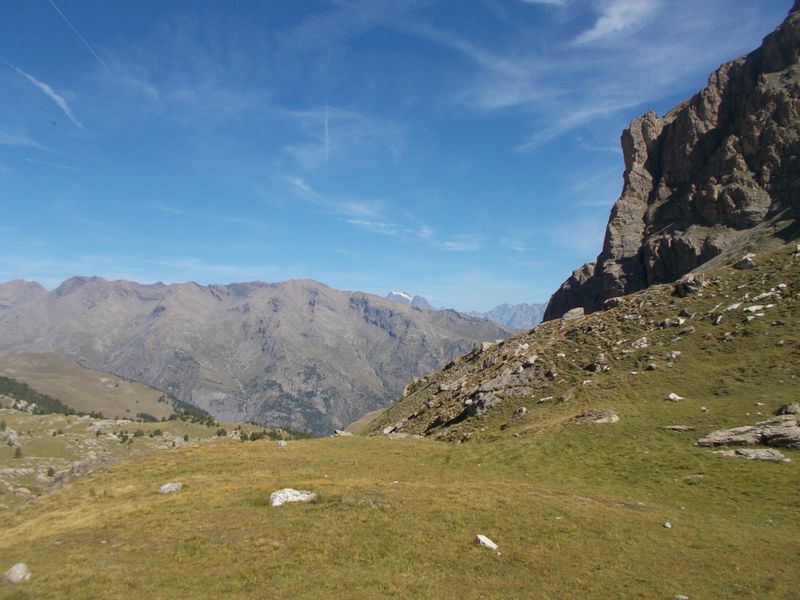
You will do the complete tour of the resort, to discover multiple wild sites and grandiose panoramas. From high altitude meadows to larch forests, passing by high altitude lakes and valley bottoms along the torrent, a multitude of terrain is offered to you, from alpine meadows to scree slopes passing by forests, there will be something for everyone's taste.
This route offers you many passages near emblematic summits of the Pays de Ecrins : Pic de Montbrison (2818m), Tête des Lauzières (2928m), La Tête de Gaulent (2867m), Tête du Peyron (2591m), Pic de Peyre Eyraute (2903m) and of course the Mont Pelvoux (3946m).
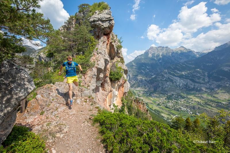
From rolling trail to technical passage, you will put your feet on many other portions of the Pays des Ecrins trail station, which will allow you to choose your next outings.
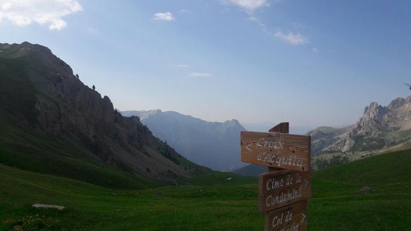
This trail can be done in several stages (from 3 to 5 days depending on your wishes). The GPS track starts from St Martin de Queyrières, but you can start from any base of the Pays des Ecrins resort. This map is indicative, it does not allow you to move around, follow the markings and bring the application "Station de Trail" and / or a GPS and / or a map IGN.
It is essential to respect the work of the farmers, operators and owners who welcome us on their land:
In order to prevent the herds from escaping, close all the fences
Bring back all your waste,
Do not cut the routes through the meadows.
Tip: Download this route before leaving and let yourself be guided with the Stations de Trail app
Photos
Shops, Services and Heritage Sites


You will also like