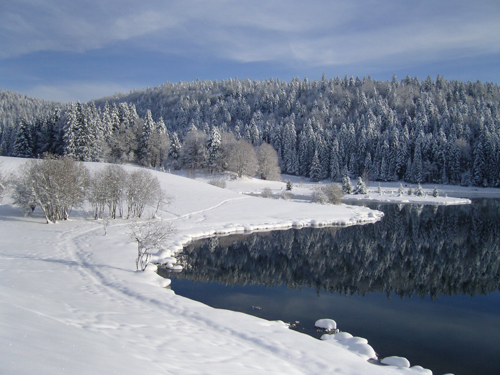
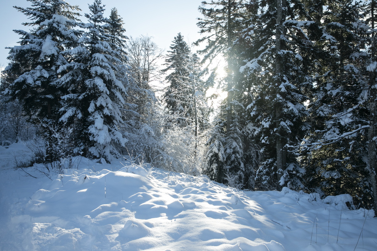
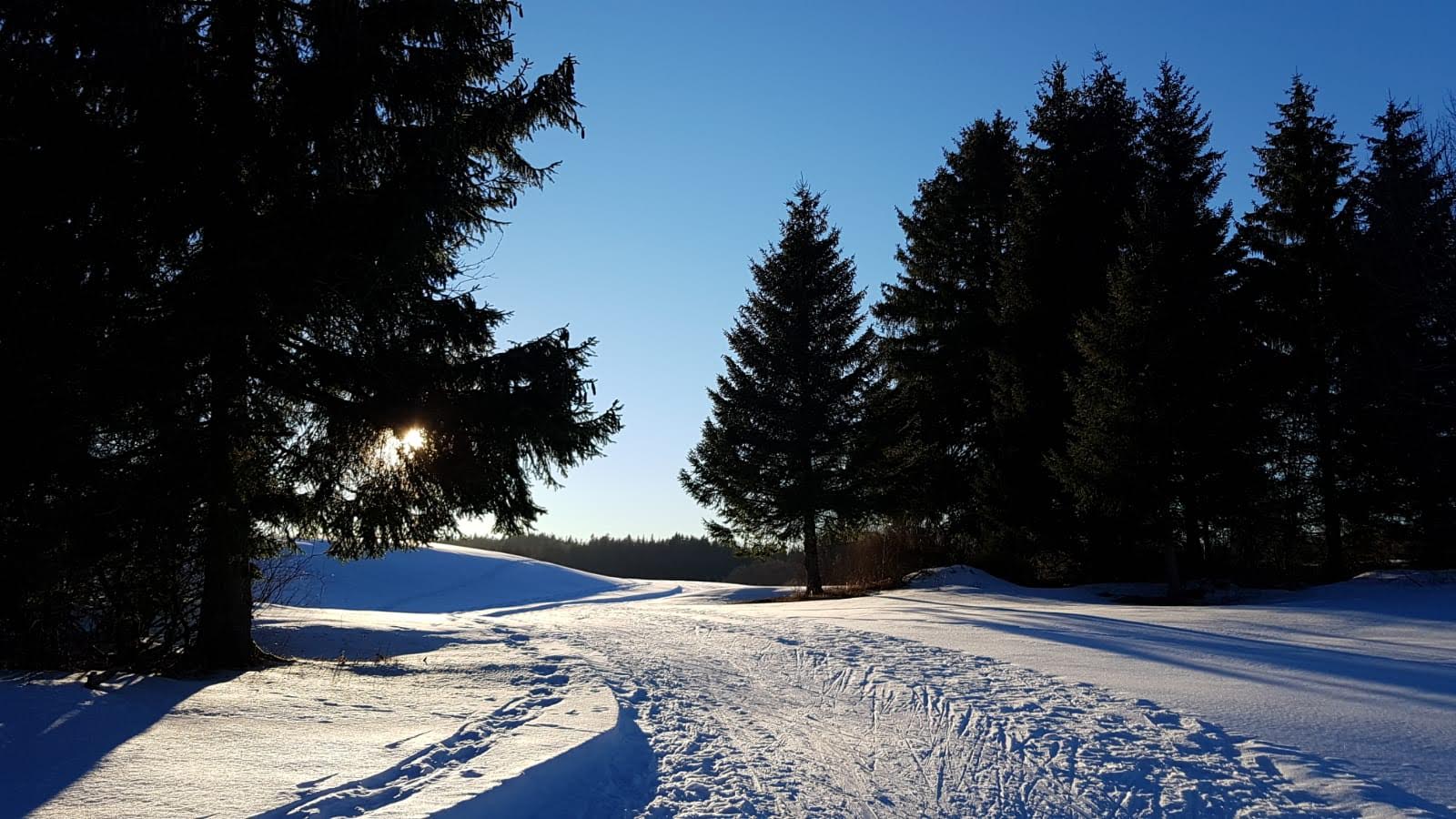
Haut-Bugey - Montagnes du Jura
Sign up for the newsletter
Explore
Log in
Create an account
routes & spots
events
providers
Difficulty
Not secured
Easy
Medium
Hard
Very hard
Positive elevation
0 m
5000 m
Distance
0 km
150 km
It is not possible to select the difficulty at the same time as distance and elevation
Departure town
Apremont
Belleydoux
Bellignat
Brénod
Charix
Izernore
Nantua
Oyonnax
Plateau d'Hauteville
More filters
See only open routes
/
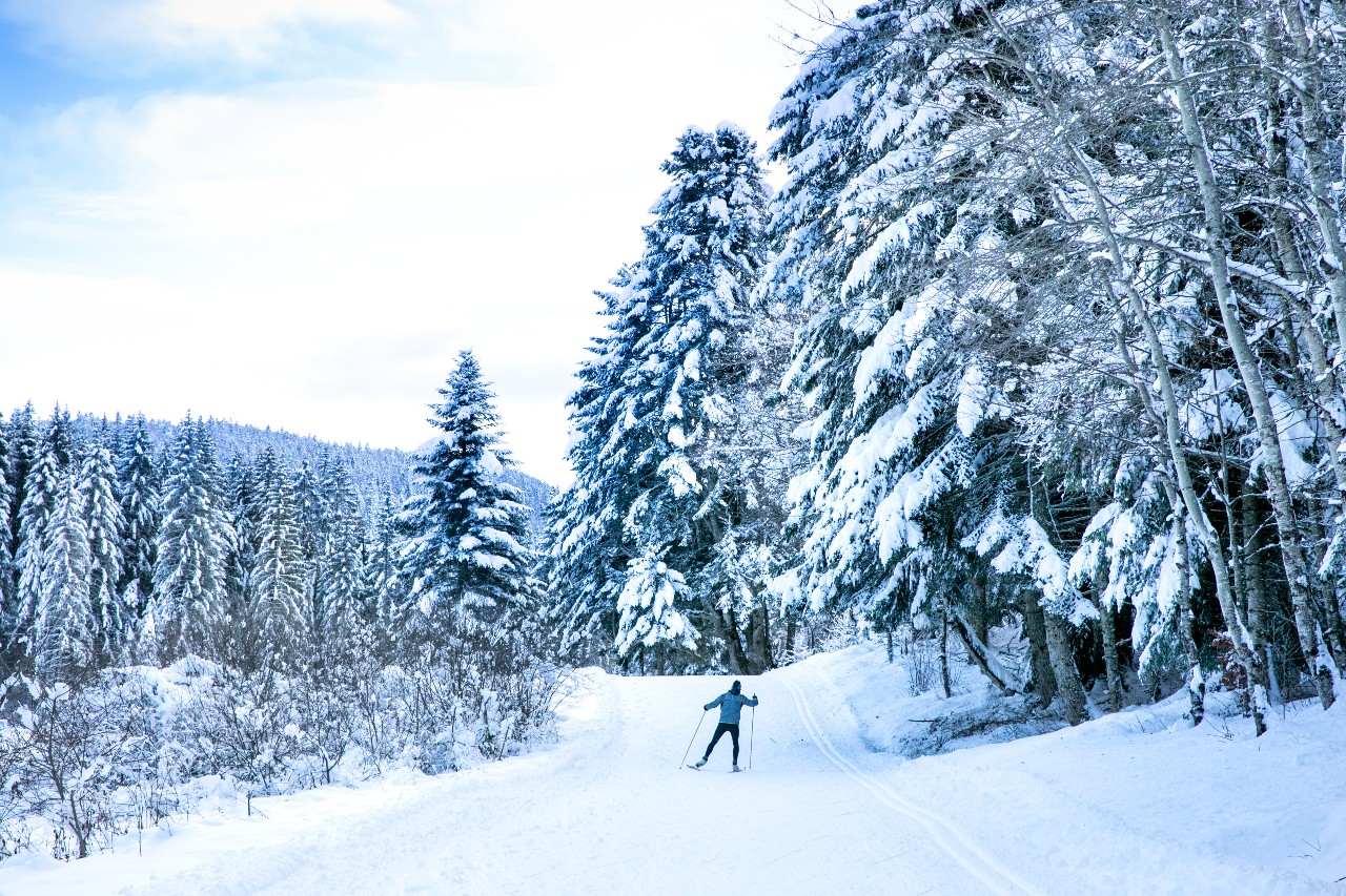
Snowshoes
Charix
Distance
7.64 km
Positive elevation
205 m
Negative elevation
201 m
Max. altitude
1017 m
Closed
/
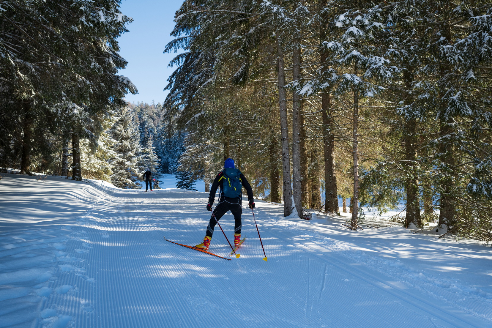
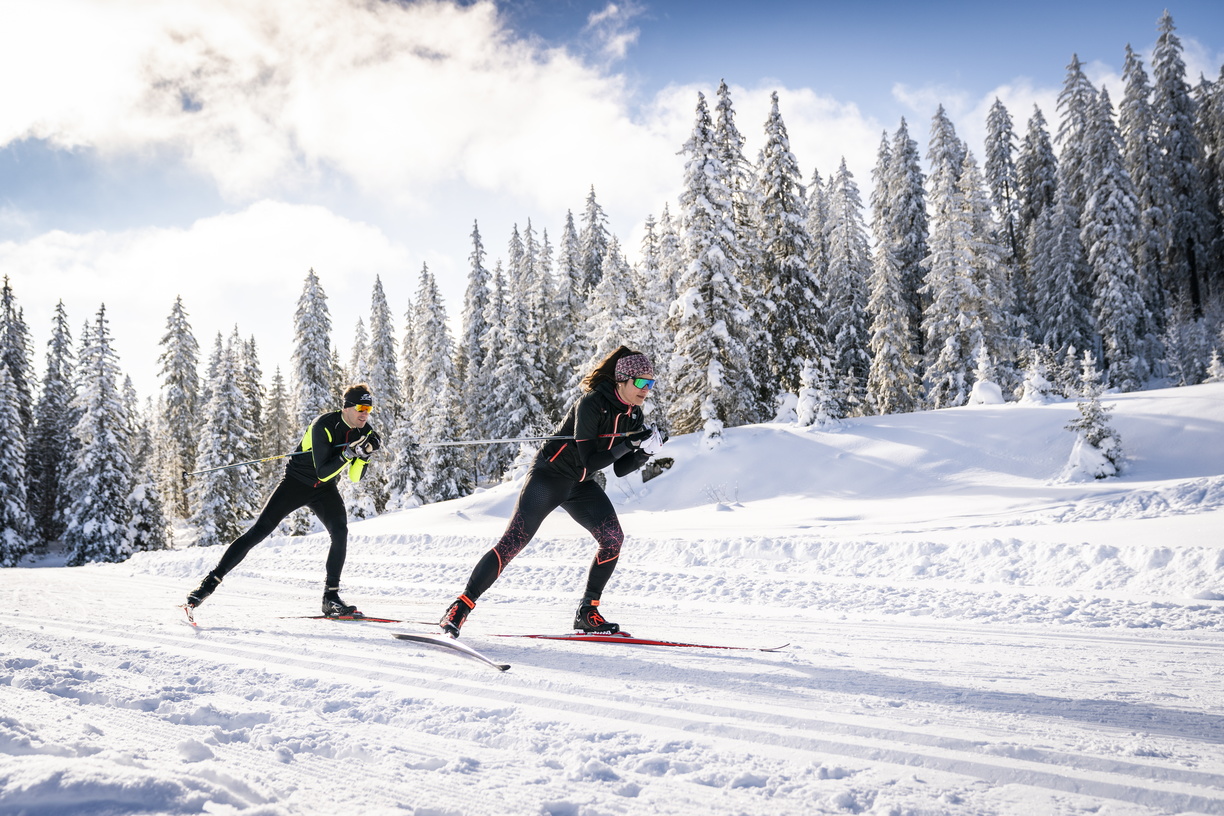
Cross country skiing
Plateau d'Hauteville
Distance
2.44 km
Positive elevation
37 m
Negative elevation
37 m
Max. altitude
1118 m
Closed
/
Cross country skiing
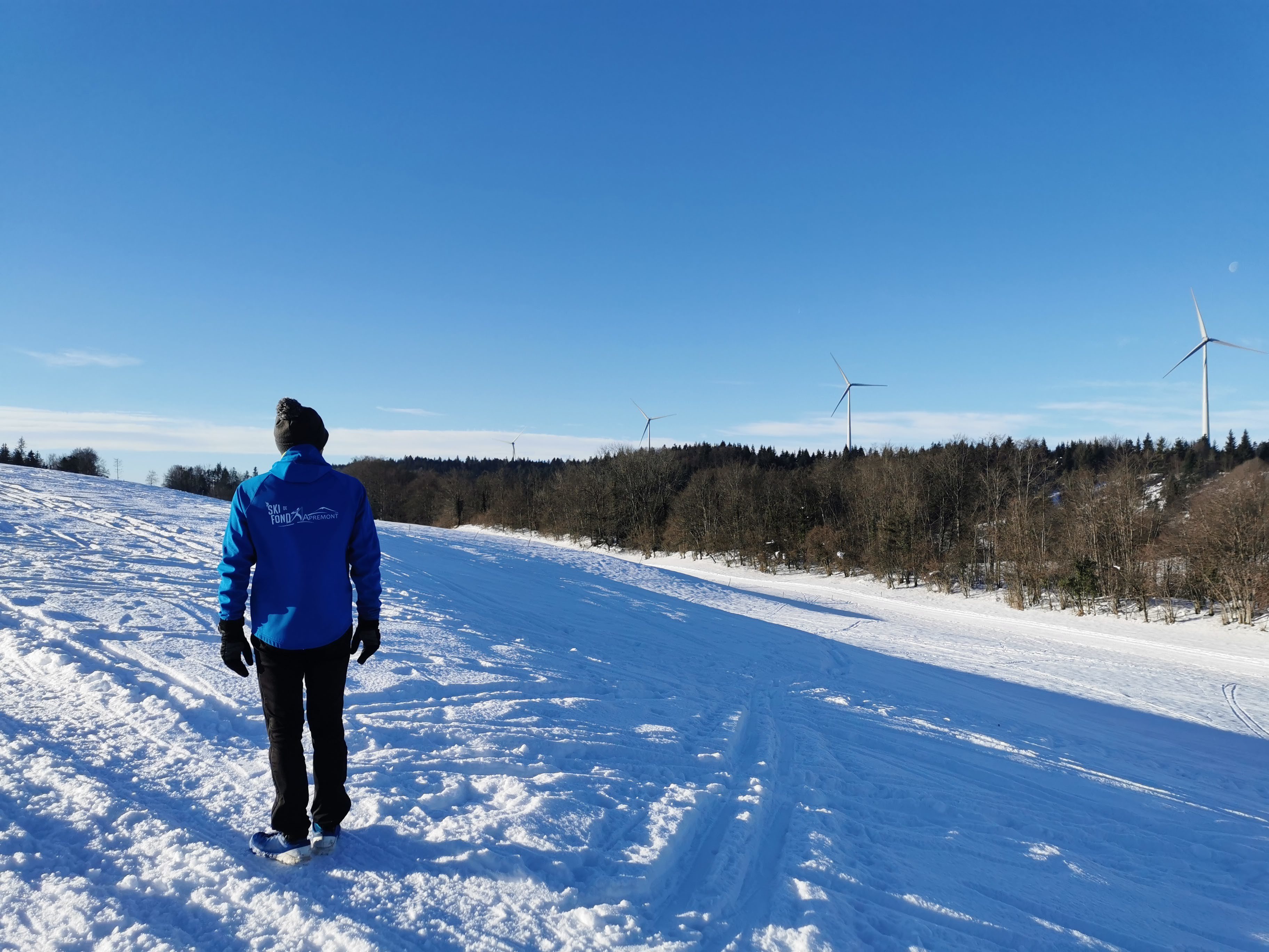
Apremont
Distance
5.37 km
Positive elevation
90 m
Negative elevation
89 m
Max. altitude
988 m
Closed
/
Cross country skiing
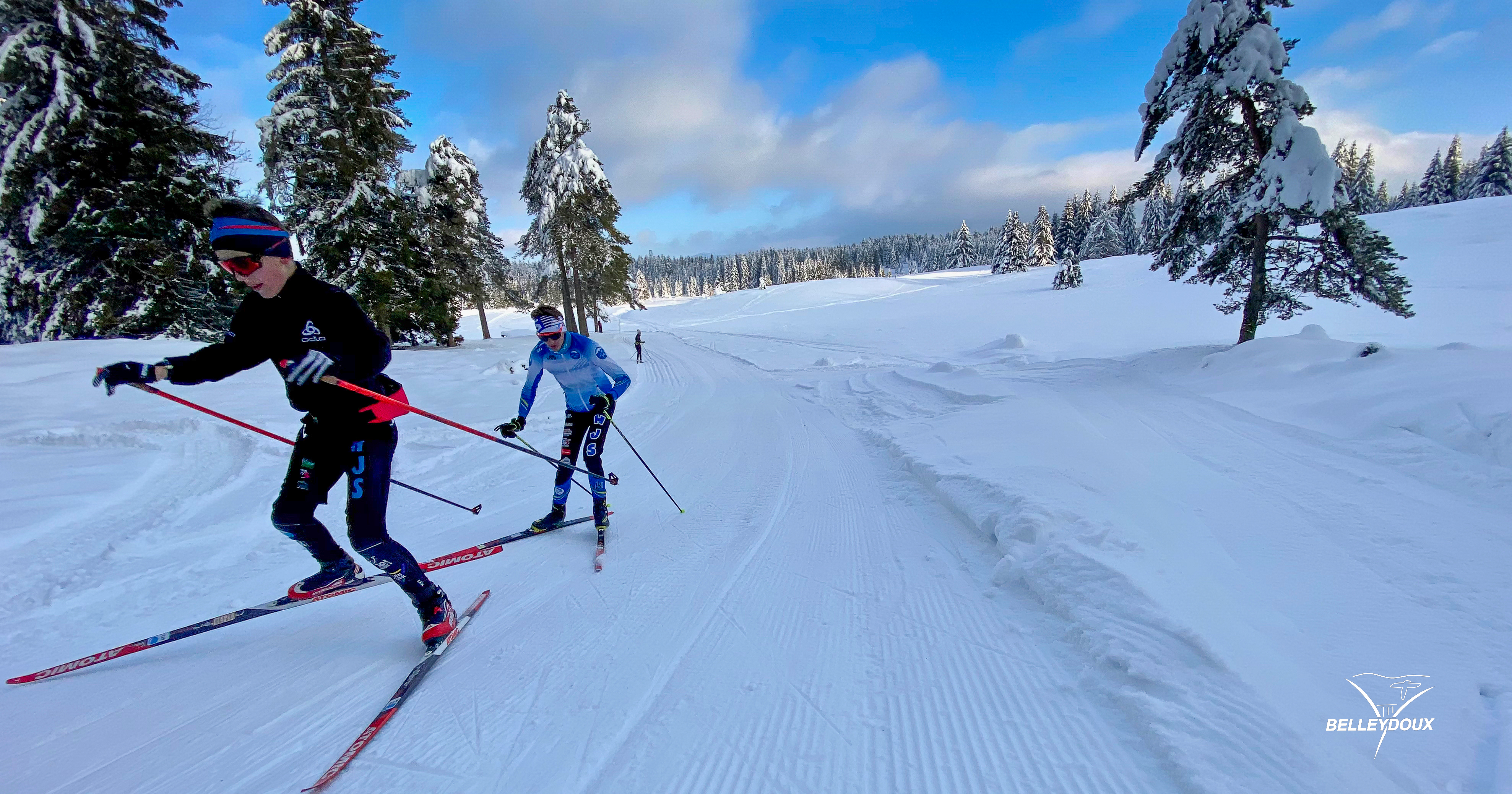
Belleydoux
Distance
9.20 km
Positive elevation
184 m
Negative elevation
184 m
Max. altitude
1018 m
Closed
/
Snowshoes
Apremont
Distance
7.03 km
Positive elevation
140 m
Negative elevation
138 m
Max. altitude
985 m
Closed
/
Cross country skiing
Apremont
Distance
7.22 km
Positive elevation
128 m
Negative elevation
128 m
Max. altitude
999 m
Closed
/
Cross country skiing
Plateau d'Hauteville
Distance
4.41 km
Positive elevation
54 m
Negative elevation
55 m
Max. altitude
1121 m
Closed
/
Cross country skiing
Plateau d'Hauteville
Distance
8.69 km
Positive elevation
134 m
Negative elevation
130 m
Max. altitude
1188 m
Closed
/
Cross country skiing
Plateau d'Hauteville
Distance
1.30 km
Positive elevation
19 m
Negative elevation
19 m
Max. altitude
1102 m
Closed
/
Cross country skiing
Belleydoux
Distance
8.05 km
Positive elevation
147 m
Negative elevation
149 m
Max. altitude
991 m
Closed
/
Snowshoes
Plateau d'Hauteville
Distance
3.35 km
Positive elevation
103 m
Negative elevation
104 m
Max. altitude
1102 m
Closed
/
Cross country skiing
Plateau d'Hauteville
Distance
3.50 km
Positive elevation
38 m
Negative elevation
33 m
Max. altitude
1117 m
Closed