
Sign up for the newsletter
Explore
6
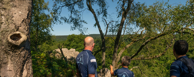
 Trail running
Signal d’Ecouves
Base d'accueil Radon, Écouves
29.57 km
Distance
809 m
Positive elevation
721 m
Negative elevation
415 m
Max. altitude
Hard
Difficulty
Under surveillance• Déviation temporaire - entre 8,9km et 10km et entre 28,7km et 29,9km
Routes
Description
Déviations en raison d'interventions d'exploitation de l'ONF :
- entre 8.9km-10km (parcelle 288) : déviation sur une portion de la route forestière des Gatheys
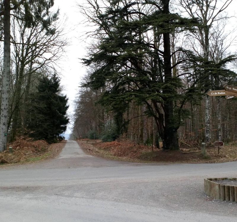
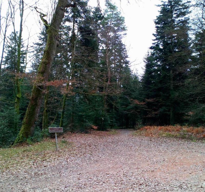
- entre 28.7km-29.9km (parcelle 204) : fin de la déviation au niveau du carrefour des Chênes à la Taverne
Téléchargez l'appli On Piste et laissez vous guider tout au long du parcours.
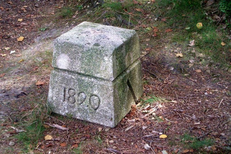
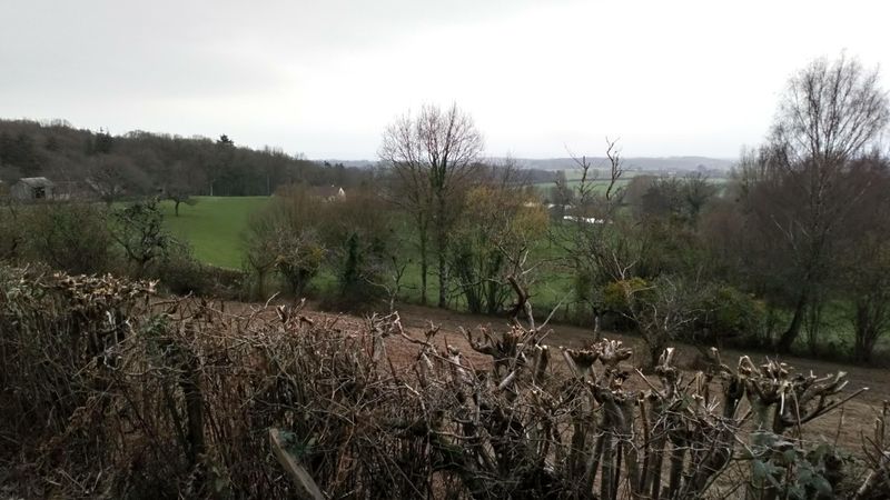
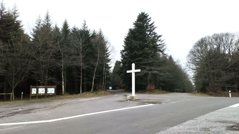
Photos
Shops, Services and Heritage Sites


You will also like
Explore the best spots!
We have picked out for you the best destinations and routes, marked out by local experts and respectful of the environments in which they take place. Routes, accommodation, courses, races, equipment, find all the good addresses and recommendations of the On Piste team to organise your next walking, cycling or skiing session. Let us guide you and don't miss any point of interest.
© 2022 On Piste
v. 1.10.0
English
Français
Spanish
Italian
Catalan