
Sign up for the newsletter
Explore
30
 Trail running
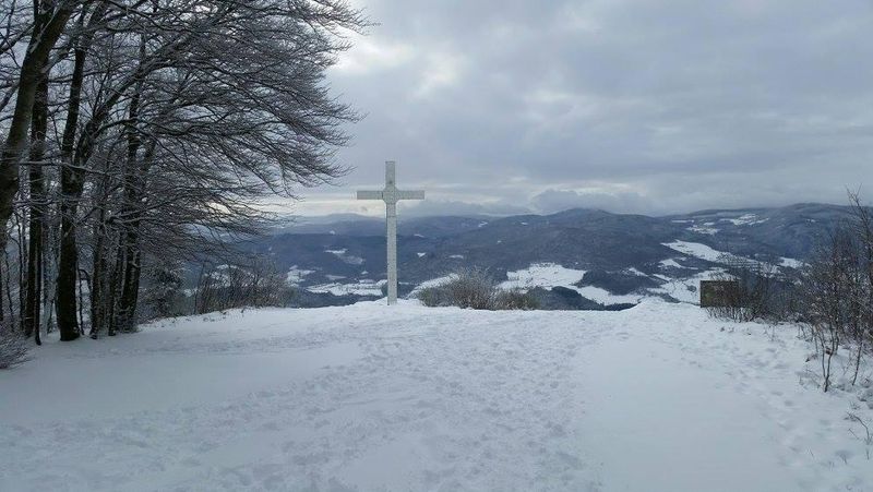
Mont Soubran
Quincié, Quincié-en-Beaujolais
31.74 km
Distance
2:30h-4:00h
Duration
1212 m
Positive elevation
1212 m
Negative elevation
884 m
Max. altitude
Hard
Difficulty
Closed
Routes
Description
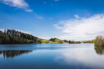
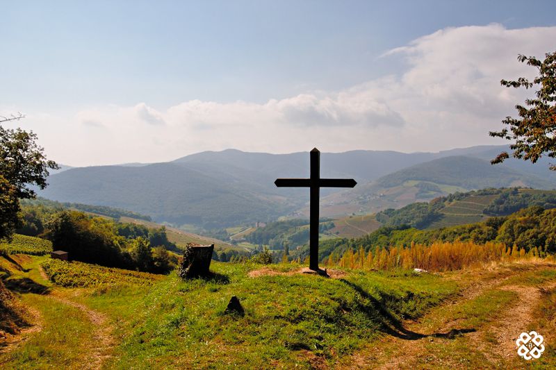
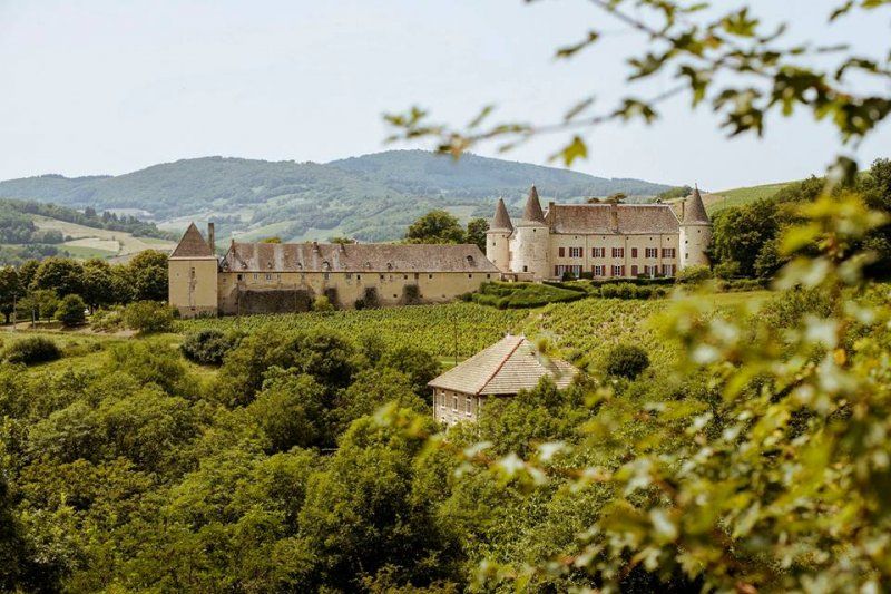
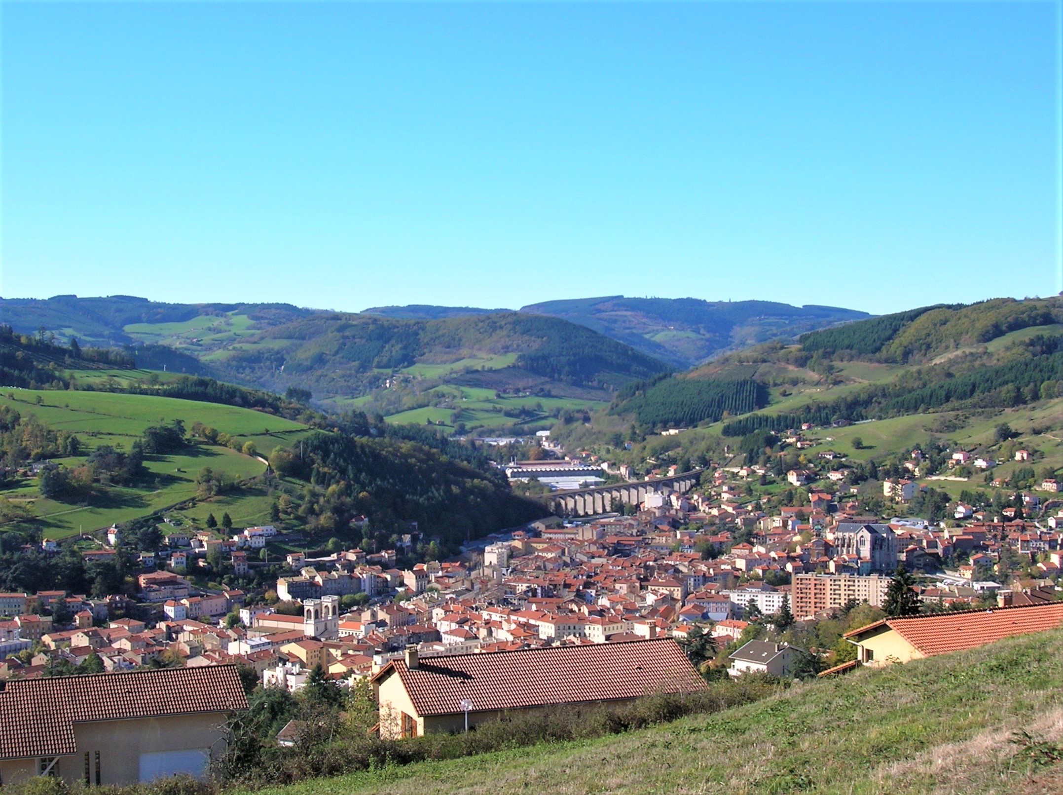
The Mont Soubran route is long and requires stamina and tonicity, but it offers a diversity of landscapes including vineyard, moorland and forests. You climb the Mont Soubran (894 meters altitude) before passing several passes (or "col") -including Col de la Casse Froide, Col de la Croix de Marchampt and Col de la Croix Rosier- and several crests -David and Morion.
Thus, the route has a great amount of elevation but runners following it are rewarded with beautiful views beyond hills and vineyard, to the Alps.
Download the On Piste app and let it guide you along the route.
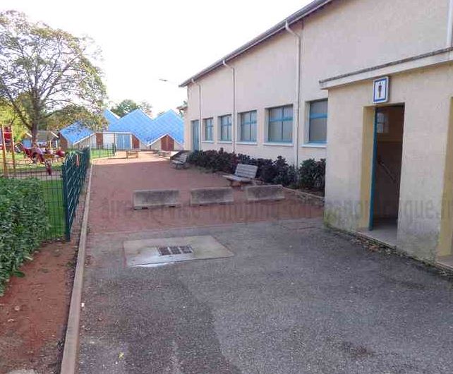
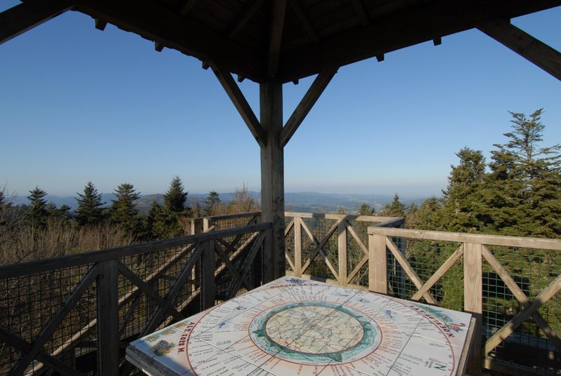
Photos
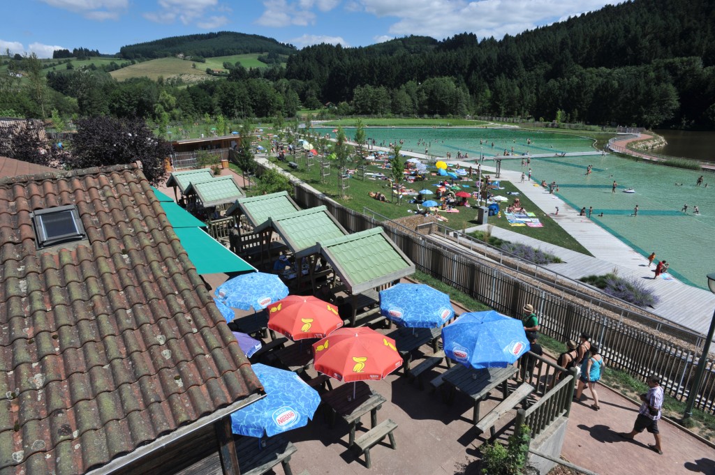
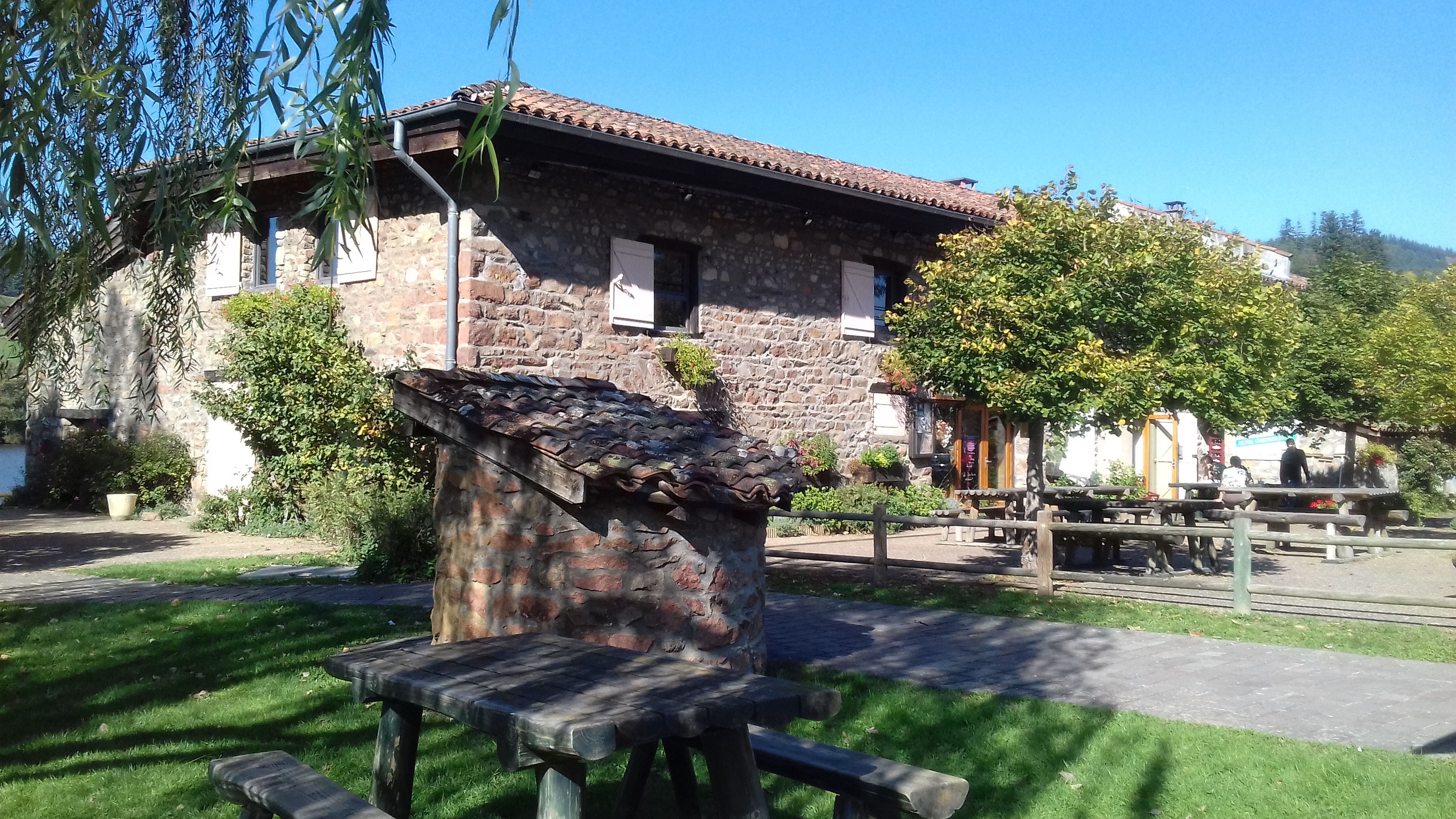
Shops, Services and Heritage Sites


You will also like
Explore the best spots!
We have picked out for you the best destinations and routes, marked out by local experts and respectful of the environments in which they take place. Routes, accommodation, courses, races, equipment, find all the good addresses and recommendations of the On Piste team to organise your next walking, cycling or skiing session. Let us guide you and don't miss any point of interest.
© 2022 On Piste
v. 1.10.0
English
Français
Spanish
Italian
Catalan